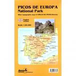
Picos de Europa National Park - 2 Map Set
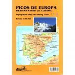
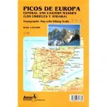
These 2 maps cover the whole of the Picos de Europa National Park at a scale of 1:25,000. The first map covers the western part of the Picos de Europa (Macizo Occidental) that includes the peaks of Pena Santa de Castilla (2,596m), and Torre Bermeja (2,392m). The second map covers the central and eastern part (Central y Oriental) that includes the peaks of Picu Urriellu (2,518m) and Torre Blanca (2,609m).
The maps show local country tracks and paths, including the long-distance GR202 and GR201 tracks, plus shorter PR waymarked routes. Symbols indicate the different types of accommodation (hotels, campsites, youth hostels, refuges, etc.), climbing sites, viewpoints, petrol stations, and car parks.
Published in May 2021 the map key/legend is in Spanish, French and English text. The maps are printed on light, waterproof and tear-resistant synthetic paper. Also included on the map covers are a list of potholing caves with length and depths, plus contact details for accommodation facilities.
Map Scale is 1:25,000
ISBN is 9788480907804.