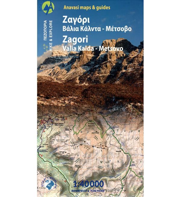
Zagori and Valia Kalda Walking Map
This walking map covers Zagori and Valia Kalda in the North Pindus (Pindos) Mountains, at a scale of 1:40,000 detailing many walking and hiking paths.
One side covers Zagori famed for its traditional villages, stone-built churches, stone bridges and public buildings that are surrounded by huge Tymfi Mountains and deep gorges. These Tymfi Mountains include the famous peaks of Gamila, Astraka and Goura. Zagori is located in the heart of the Vikos-Aoos National Park and includes the Drakolimni Lakes and the Vikos gorge.
The other side covers the Valia Kalda National Park, an area of dark mountains and beautiful forests, in the Pindus Mountains. This map covers an area from Metsovo and the Aoos reservoir in the south to the Smixi ski centre in the north. Included are the peaks of Valia Kalda and Vasilitsa (location of the Greek National ski centre).
Published in 2023 by Anavasi the text and legend of this map is in English and Greek throughout. This Zagori and Valia Kalda Walking Map is printed on Polyart laminated paper (waterproof and rip-proof) and is compatible with GPS systems.
Map Scale is 1:40,000.
ISBN is 9789609412810.
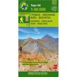
Other walking maps from Anavasi covering the Pindus Mountains include the Gramos, Smolikas, Voio and Vasilitsa walking map.
![Prespa, Vitsi, Voras Walking Map [6.2]](https://climb-europe.com/pub/media/catalog/product/cache/dadd9a99528695eab1f8fe8a8f1ff559/p/r/prespa-vitsi-voras-walking-map.jpg)