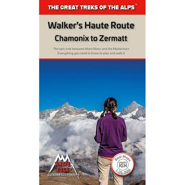
Walker's Haute Route Guidebook
£14.99
In stock
SKU
40-FRA-051
This Walker's Haute Route Guidebook describes the 206km trek between Chamonix in France and Zermatt in Switzerland, the two most famous mountain towns in the Alps. Starting at Mont Blanc, and finishing at the Matterhorn, the route passes the largest collection of snowy 4000m summits in the Alps: Mont Blanc, Grand Combin, the Weisshorn, the Zinalrothorn, the Dom, the Taschhorn, the Breithorn and the Matterhorn, to name a few.
The route is 206km long and takes between 10 to 14 days to complete, with 14,000m of altitude gain and travelling through 12 mountain passes. The high mountain terrain is unspoilt and remote with amazing glaciers, snow frosted summits, beautiful valleys and pastures, sparkling azure lakes, carpets of wild flowers and the soothing sound of cow bells. The guidebook includes the following information:
1) Real maps for each stage using IGN mapping at a scale of 1:25,000.
2) Unique Itinerary Planner: plan a bespoke itinerary to match your ability and vacation schedule. All difficult calculations of time, distance and altitude gain are done for you.
3) Everything the trekker needs to know: route descriptions, costs, budget, difficulty, weather, how to get there, and more.
4) Full accommodation listings: spectacularly situated mountain huts, villages and hamlets.
5) Full section on camping: a complete list of camping locations.
6) 13 exciting variants to the main route.
7) Information for both self-guided and guided trekkers.
Published in May 2019 this guidebook is in English text throughout. This trek is on many people’s bucket list looking to experience unspoilt and remote high mountain terrain.
Number of pages is 144.
Size is 120mm x 210mm.
ISBN is 9781912933020.
We found other products you might like!