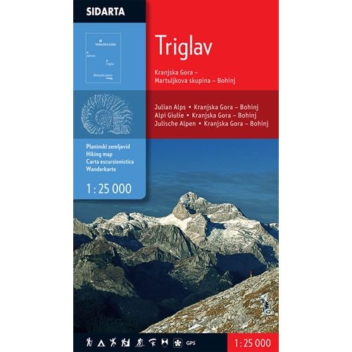
Triglav Walking Map
£9.95
In stock
SKU
10-SLO-001
This is a walking map for Triglav, at a scale of 1:25,000, in the central region of the Julian Alps, including the town of Kranjska Gora, the Martuljek waterfalls and Bohinj Lake. The map covers an area from the peak of Jalovec in the west to Mojstrana Boh in the east; and Pec (Ofen) in the north to Bistrica in the south.
The map also details 27 mountain huts in the area, along with contact details, opening hours, sleeping facilities and accessibility. Additional information shows the distances between huts and walking distance to the major peaks from the huts.
This Triglav walking map shows, waymarked paths, unmarked trails, ski tours, sport climbing areas, natural and cultural points of interest, plus paragliding take-off sites. The map is also compatible with GPS systems.
Published by Sidarta, the text and legend of this map is in English, German and Slovenian throughout.
ISBN is 3830008646330
Map Scale is 1:25,000
Folded size is 125mm x 227mm.
We found other products you might like!
- Julian Alps Walking Map£9.95


