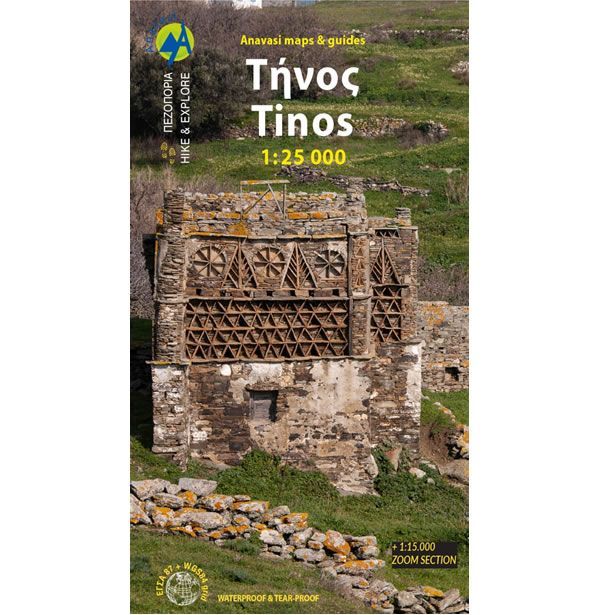
Tinos Walking Map
This map shows all the walking and hiking paths and trails on the Greek Island of Tinos. Tinos has a large network of paths across a hilly and cultivated landscape that provides many beautiful walks, though these are not necessarily very strenuous.
Many of the walking paths follow the kalderinia, the stone pathways that the islanders have been using for centuries. These networks of trails link many villages that are scattered around the island with beautiful churches, bridges, artistic dovecotes, windmills, and rural huts.
Tinos has several mountains with the highest being Mount Tsiknias at 750m high. However, the more famous mountain is called Exomvourgo at 640m high, which was heavily fortified by the Venetians to successfully repel the Turks.
Published in 2023 by Anavasi, the text and legend of this Tinos map is in English and Greek throughout. On the reverse of the map are several hiking routes along with short descriptions, plus the area with the densest network of trails is shown at the scale of 1:15,000.
Map Scale is 1:25,000 and 1:15,000.
ISBN is 9789608195998.
| ISBN is: | 9789608195998 |
|---|---|
| Free 2nd class UK postage | Yes |
| Scale Is: | 1:25,000 |