Skye Trotternish XT25 Superwalker Map
£15.50
In stock
SKU
02-SWM-001
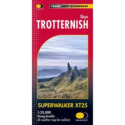
This is a detailed map of the Trotternish Ridge on the island of Skye. The map also shows the Old Man of Storr and the Quiraing.
Published by Harvey Maps, it is printed on light, waterproof and tear-resistant synthetic paper.
Map Scale is 1:25,000 and is GPS compatible.
Published by Harvey Maps, it is printed on light, waterproof and tear-resistant synthetic paper.
Map Scale is 1:25,000 and is GPS compatible.
| ISBN is: | 9781851373642 |
|---|---|
| Free 2nd class UK postage | Yes |
| Scale Is: | 1:25,000 |
Write Your Own Review