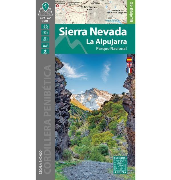
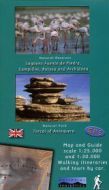
Sierra Nevada Walking Map
This map covers the Sierra Nevada National Park to the southeast of Granada in Andalucia, and includes La Alpujarra. The Sierra Nevada National Park is the largest national park in Spain and includes some of its highest mountains. The map includes the mountains of Mulhacen (3,479), Veleta (3,396m), and La Alcazaba (3,369m). The map covers an area from Guejar-Sierra and Monachil in the northwest, Durcal in the west, to Lanjaron and Pampaneira in the south, and Trevelez in the west.
A great network of walking and hiking trails at a scale of 1:40,000 are shown on the map, including the section of the GR7 and GR240 long distance routes that pass through the area. The map also shows various refuges, including the 2 main manned refuges of the area that are Refugio Postero Alto, and Refugio Poqueira.
Published by Editorial Alpina in 2024, the map key/legend are in Spanish, French and English text.
Map Scale is 1:40,000.
Folded size is 115mm x 210mm.
ISBN is 9788480909976.