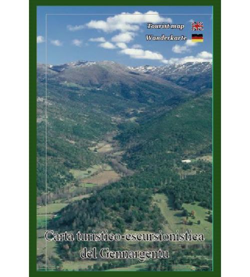
Gennargentu National Park walking map
The Gennargentu walking map covers the Gennargentu National Park, an extensive mountainous area in central eastern Sardinia. The map includes Punta La Marmora, which at 1,834m high is the highest peak in Sardinia. Gennargentu National Park is a wilderness area characterised by a succession of mountains and steep valleys. The map shows the local walking and hiking paths and trails, along with recommended mountain bike routes at a scale of 1:30,000. Symbols highlight archaeological sites, churches, caves, castles, and scenic viewpoints.
Published by Abies in July 2012, the map legend/key is in English and Italian text. On the reverse of the map there is information about the area in Italian, German and English text.
Map Scale is 1:30,000
Size is 680mm x 980mm
Folded size is 140mm x 205mm
ISBN is 9788890606366