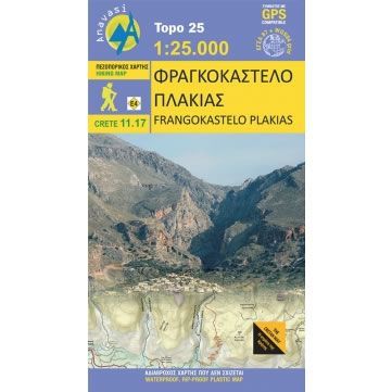
Frangokastelo and Plakias Walking Map
£8.95
In stock
SKU
10-GRE-11-17
This map shows all the waking paths and hiking trails on the eastern side of the White Mountains, and around the coastal towns of Frangokastelo and Plakias in central Crete. The map covers Mt Angathes and Mt Kryoneritis along with various gorges. On the reverse of the map there are a dozens of proposed walking routes along with a brief description, including part of the E4 Cretan Way.
Published in 2016 by Anavasi and is map number 11.17. The text and legend of this map is in English and Greek throughout.
Map Scale is 1:25,000.
This Frangokastelo and Plakias map is laminated (waterproof and rip-proof) and is compatible with GPS systems.
Published in 2016 by Anavasi and is map number 11.17. The text and legend of this map is in English and Greek throughout.
Map Scale is 1:25,000.
This Frangokastelo and Plakias map is laminated (waterproof and rip-proof) and is compatible with GPS systems.
| ISBN is: | 9789609412216 |
|---|---|
| Free 2nd class UK postage | Yes |
| Scale Is: | 1:25,000 |
Write Your Own Review
We found other products you might like!
![Mt Dikti and Mt Selena Walking Map [11.15] by Anavasi](https://climb-europe.com/pub/media/catalog/product/cache/dadd9a99528695eab1f8fe8a8f1ff559/c/r/crete-mt-dikti-and-mt-selena-walking-map-11-15-2022.jpg)
![Mt Ida (Psiloritis) Walking Map [11.14]](https://climb-europe.com/pub/media/catalog/product/cache/dadd9a99528695eab1f8fe8a8f1ff559/m/t/mt-ida-psiloritis-walking-map.jpg)
![Samaria Gorge, Sougia, and Paliochora Walking Map [11.13]](https://climb-europe.com/pub/media/catalog/product/cache/dadd9a99528695eab1f8fe8a8f1ff559/s/a/samaria-gorge-sougia-paliochora-walking-map-2023-11-13.jpg)
![Skiathos Walking Map [10.11]](https://climb-europe.com/pub/media/catalog/product/cache/dadd9a99528695eab1f8fe8a8f1ff559/s/k/skiathos_-walking-map-anavasi-10-11.jpg)