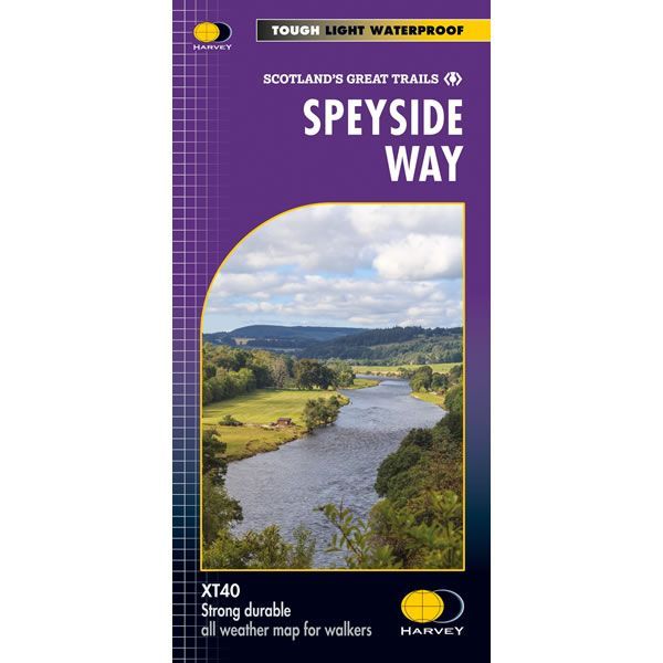
Speyside Way XT40 Harvey Map
This is a complete map of the Speyside Way that shows the entire route on 1 sheet at a scale of 1:40,000. The Speyside Way is 85 miles (137km) long and it starts at Newtonmore and finishes on the coast at Buckie, with a separate 16mile spur to Tomintoul, and is classed as one of Scotland’s great trails.
The map includes logistical information for walking the Speyside Way such as shops and refreshments. Directions to the start of the route are included plus enlargements of the local towns and villages showing what facilities are available.
Published in February 2021 by Harvey Maps, it is printed on light, waterproof and tear-resistant synthetic paper. The map key and legend is in English, French and German text.
Map Scale is 1:40,000 and is GPS compatible.
Folded size is 115mm x 240mm.
ISBN is 9781851374878.
| ISBN is: | 9781851374878 |
|---|---|
| Free 2nd class UK postage | Yes |
| Scale Is: | 1:40,000 |