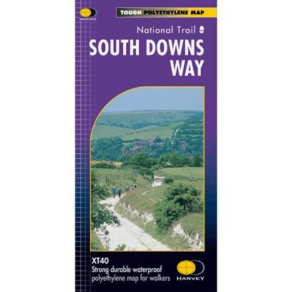
South Downs Way XT40 Harvey Map
£15.95
In stock
SKU
02-NTM-016
This is a complete map of the South Downs Way National Trail Path that shows the entire route on 1 sheet. This long distance path starts at Winchester and goes along the crest of the chalk downs of Hampshire and Sussex to Eastbourne.
The map includes logistical information for walking the South Downs Way, including accommodation options, shops and refreshments. Directions to the start of the route are included plus enlargements of the local towns and villages showing what facilities are available.
Published in January 2007 by Harvey Maps, it is printed on light, waterproof and tear-resistant synthetic paper. The map key and legend is in English, French and German text.
Map Scale is 1:40,000 and GPS compatible.
Folded size is 115mm x 240mm.
| ISBN is: | 9781851374779 |
|---|---|
| Free 2nd class UK postage | Yes |
| Scale Is: | 1:40,000 |
Write Your Own Review