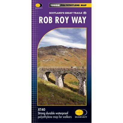
Rob Roy Way XT40 Harvey Map
£15.95
In stock
SKU
02-NTM-033
This is a complete map of the Rob Roy Way long distance path that shows the entire route on 1 sheet. The Rob Roy Way starts at Dryman and heads north east to finish at Pitlochry in the Southern Highlands. The route has a couple of variants, which are either 77 miles or 94 miles long. The route passes through many towns, along lochs, and over several mountains.
The map includes logistical information for walking the Rob Roy Way, including accommodation options, shops and refreshments. Directions to the start of the route are included plus enlargements of the local towns and villages showing what facilities are available.
Published in December 2012 by Harvey Maps, it is printed on light, waterproof and tear-resistant synthetic paper. The map key and legend is in English, French and German text.
Map Scale is 1:40,000 and is GPS compatible.
Folded size is 115mm x 240mm.
| ISBN is: | 9781851375196 |
|---|---|
| Free 2nd class UK postage | Yes |
| Scale Is: | 1:40,000 |
Write Your Own Review