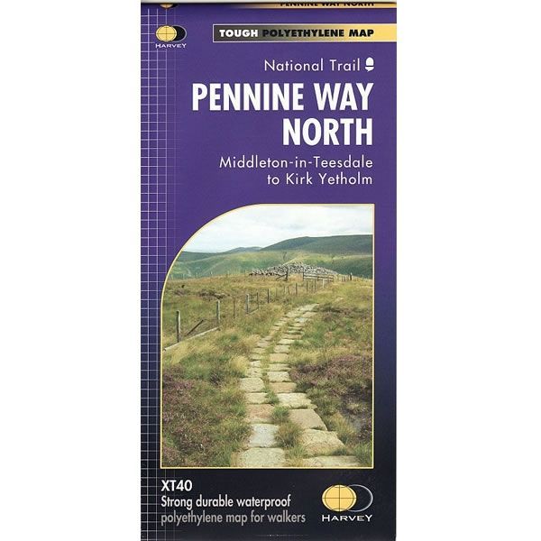
Pennine Way North XT40 Harvey Map
£17.50
In stock
SKU
02-NTM-013
This is a complete map of northern part of the Pennine Way long distance path that is shown on 1 sheet. The map covers the section from Middleton-in-Teesdale to Kirk Yetholm.
The map includes logistical information for walking the northern part of the Pennine Way long distance path, including accommodation options, shops and refreshments. Directions to the start of the route are included plus enlargements of the local towns and villages showing what facilities are available.
Published in January 2019 by Harvey Maps, it is printed on light, waterproof and tear-resistant synthetic paper. The map key and legend is in English, French and German text.
Map Scale is 1:40,000 and GPS compatible.
Folded size is 115mm x 240mm.
| ISBN is: | 9781851376155 |
|---|---|
| Free 2nd class UK postage | Yes |
| Scale Is: | 1:40,000 |
Write Your Own Review
We found other products you might like!